


la-londe-12km2-au-mois-d-aout

doudet
User
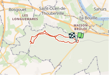

Length
12.2 km

Max alt
132 m

Uphill gradient
176 m
Km-Effort
14.6 km

Min alt
60 m

Downhill gradient
180 m
Boucle
Yes
Creation date :
2019-07-02 06:33:41.914
Updated on :
2019-07-02 06:33:41.914
--
Difficulty : Unknown

FREE GPS app for hiking
 SityTrail
IGN / Geographical institutes
SityTrail Plus
The world is yours!
About
Trail Walking of 12.2 km to be discovered at Normandy, Seine-Maritime, La Londe. This trail is proposed by doudet.
Positioning
Country:
France
Region :
Normandy
Department/Province :
Seine-Maritime
Municipality :
La Londe
Location:
Unknown
Start:(Dec)
Start:(UTM)
348636 ; 5466661 (31U) N.
Comments